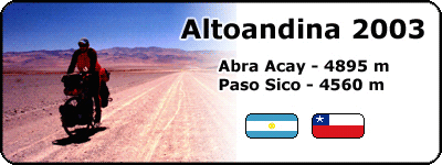
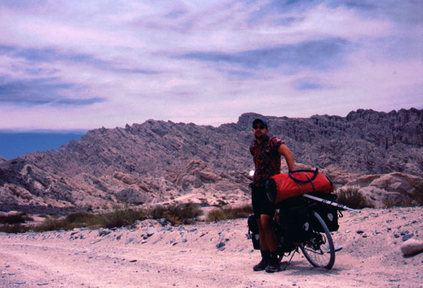
After last year's bike tour from Peru to southern Patagonia, I wanted to cross this time the Andes over two of the highest passes between Argentina and Chile. The idea was to cross from San Juan in Argentina to La Serena in Chile over the Agua Negra pass and then further north to come back from Copiapo over Paso San Francisco to Tinogasta. I was expecting two and a half weeks for me to cycle this route.
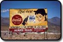
There I was on Wednesday afternoon at the Mendoza bus station, waiting for my bus to take me to Jachal (18 pesos), the starting point of my bike tour. Five hours of a boring bus ride took me through semi-desert moon landscape to Jachal, a sleepy little town in the province of San Juan. This is the ideal place to depart for the Paso de Agua Negra. You can find here 2-3 bike shops with basic stuff for your bike, some alojamientos and good argentinean parilla places.
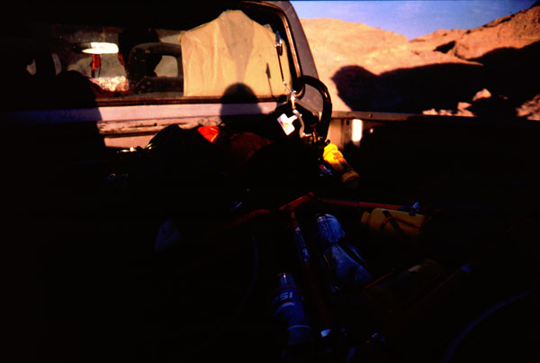
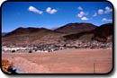
Next day I am already cycling towards the Andes. The next village, Rodeo, is 60 km away. The road leads through a valley until reaching Cuesta de Viento Lake 6 km before Rodeo, a huge artificial lake known for its constantly blowing winds. 18 km behind Rodeo lies Las Flores, last village before the argentinian-chilean border. There I got bad news, the road was closed, and workers were still trying to make their way through the snow covered narrow road. They were planning to have it open until mid December. This was something I wasn't expecting, as I called previously all provincial entities to inform myself about the road conditions.
I had to change my plan spontaneously: take a bus from Rodeo to Jachal, further to San Juan (10 pesos) and from there to Monteros (41 pesos), south of Tucuman. From Monteros I took another bus to Cafayate (22 pesos). One year before I have passed through this nice little town, coming from Salta and going over the Infernillo pass to Monteros and Catamarca. Since then I wanted to cycle the road from Cafayate to Cachi and visit the beautiful calchaqui villages along the road. This was the perfect chance to do that. Afterwards I would cross Abra Acay, South Americas highest pass (there is one in Peru even higher, but officially this is known as the highest) and continue to San Antonio de los Cobres from where I would climb the succession of passes of the Paso Sico until descending to San Pedro de Atacama.
Cafayate is well known throughout Argentina and Southern America for its wine yards, producing some of the regions most delicious varieties of red wine like Malbec, Merlot, Syrah, Cabernet Sauvignon and white wine like Torrontes and Chardonnay from the estates Etchart, Michel Torino and Santa Maria. It's a tranquil little town visited in summer by national and foreign tourists. The wine cellars around the town offer sightseeing and wine tasting. Cafayate has Argentina's highest wine yards.
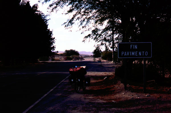
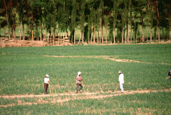
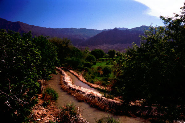
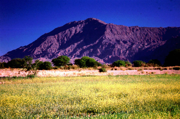
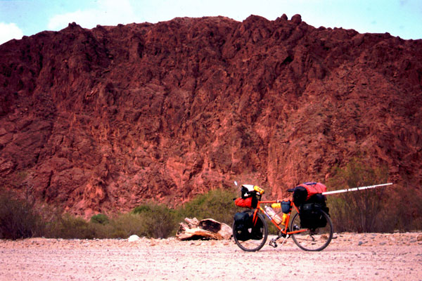
The Ruta 40 heading north is paved until short after San Carlos. Along the river, the road passes different tiny villages (La Merced, Payogastilla, Santa Rosa). The landscape is awesome, the canyon with its bizarre geological formations switches colours from intense red to yellow, green and brown walls. With irrigation channels built all over the valley, locals use the whole valley for farming. Villages here (Angastaco, Seclantas, Molinos, Cachi) live today from agriculture, having onion, tomato, bean, potato and wheat crops. The growing tourism sector is replacing step by step the agriculture as the regions main income resource.
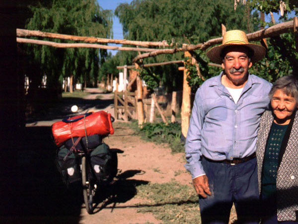
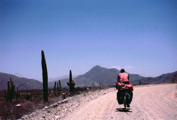
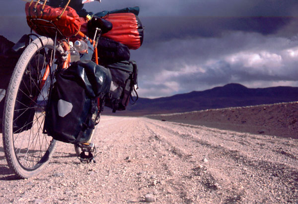
In three days I reached Cachi. As I was travelling with lot of load on the bike and the road was often sandy, I never made more then 50-60 km a day. If sun was shining, I had to stop during noon hours when it was burning with great intensity. There is water to find in every village but people living close to the road are very friendly and can help you out if you run out of water. You can also get some cooked food in the bigger villages where you find simple restaurants.
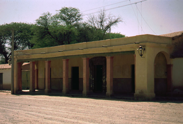
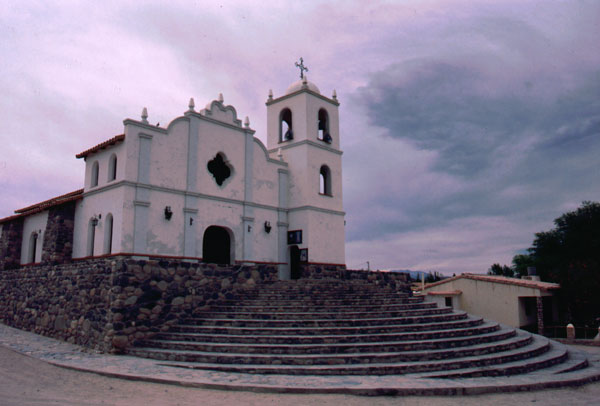
The first thing I did in Cachi was searching a welder who would fix my broken lowrider. I took a cheap room at Residencial Rosa, on block down from the plaza. There is a bike shop in Cachi, 2 blocks west from the plaza. Internet can be found at the Centro Cultural, climbing a street southwest from the plaza, and then turn half left on the hill.
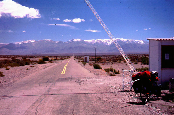
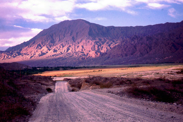
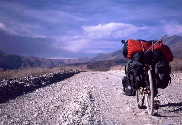
The climb to Abra Acay starts from Cachi, which lies at an altitude of 2280 m. The first 12 km are paved, then you have gravel road until Socaire if you are heading for Paso Sico. La Poma is the last village before the pass, 800 m higher than Cachi at a distance of 60 km. Most of the climbing is done on the last part, just before entering La Poma. There is even a modern hostal at the central square in La Poma. For the next 20 km, there are still some houses along the road.
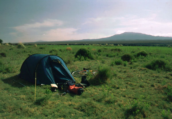
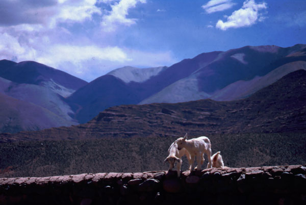
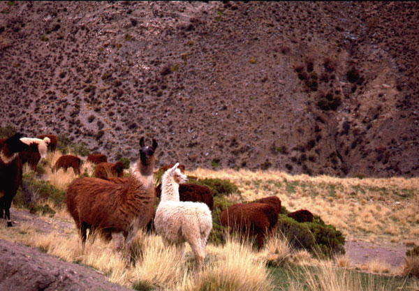
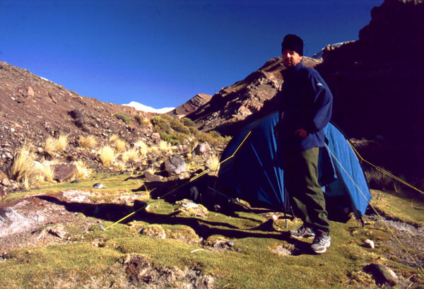
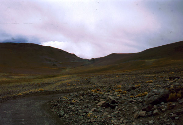
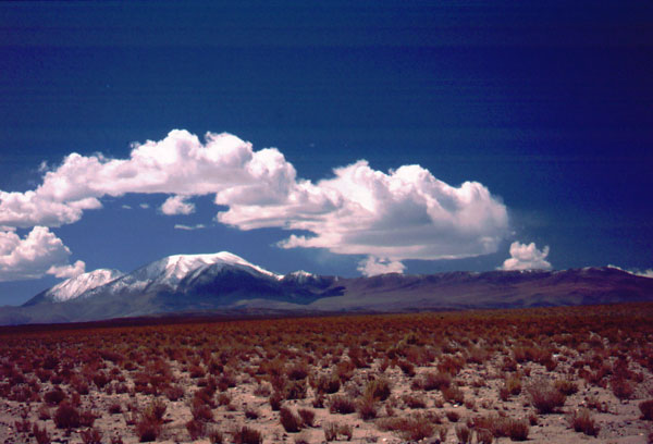
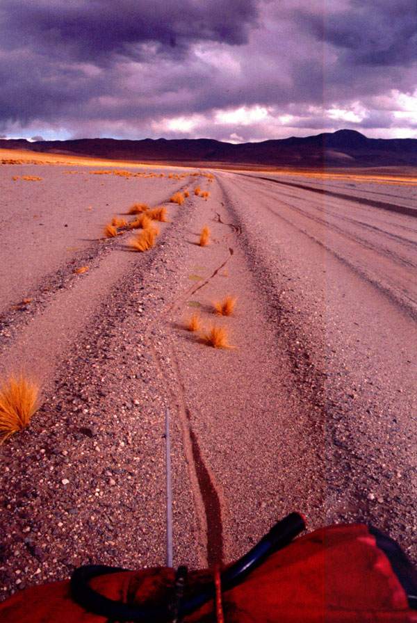
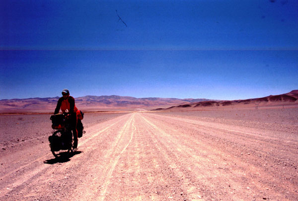
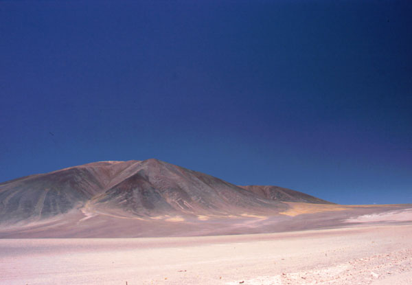
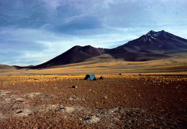
Early in the morning I started cycling towards Abra Acay, in order to get as close as possible that day. 18 km uphill from La Poma lies Saladillo, having a basic school for the children living in this isolated area. 4 to 5 km before Saladillo, there is a goat farm that sells delicious dry goat cheese. After Saladillo, there are only two more houses, the last one 33 km uphill, at the end of a short downhill just after a plain field where lamas use to grass (good place to pitch up a tent). 600 meters before you have to cross the water. This house is owned by (doña Flavia and Damiana) which are living out of lama growing. 2 km further uphill comes the first hairpin curve of the Abra Acay. Here is your last place for pitching up a tent, just right off the road entering the first curve going left, near the water. My altimeter was showing 4040 m. Here you can fill up your water bottles. If you consider, you can put in 2 micropur tablets for purifying the water, some lamas may grass upstream. The road climbs steadily, winding parts change with plainer straight parts. The last place to fill up water before San Antonio de los Cobres is at a height of 4400, at a water crossing, some 4,5 km from the first hairpin curve - short before coming to this place, you see on the opposite side of the valley the road climbing straight in your direction. 3,5 km further, at 4550 there is another plain part where you can pitch up a tent in case it gets dark or the weather changes. From here, you can recognise die last 8-9 curves climbing to the pass. The pass lies right from some edgy rocks you can see on the crest before you. The climb from my tent place at 4040 m up to Abra Acay is 13,5 km.
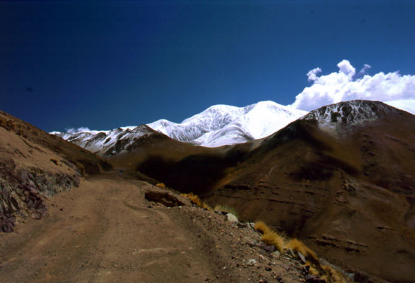
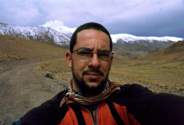
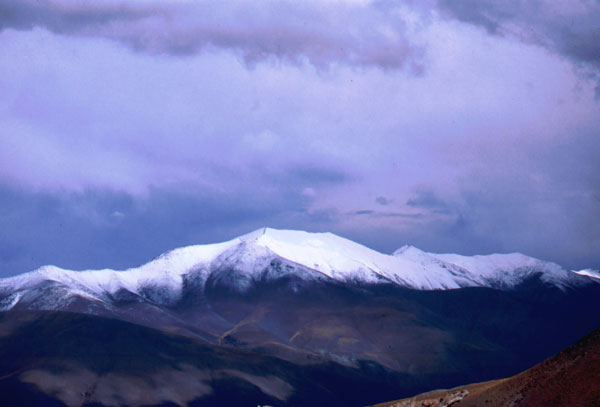
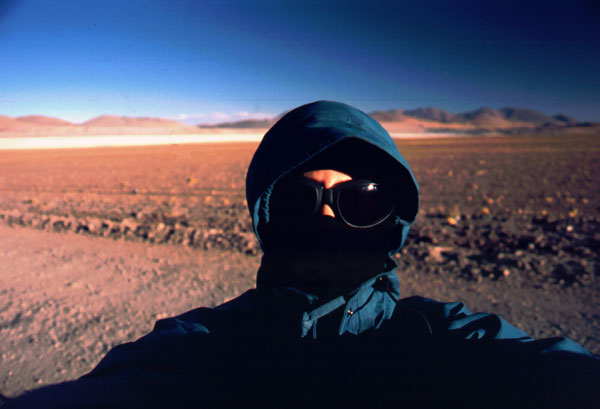
As it rained for 4 hours the night before climbing the pass, when I woke up in the morning, the cloudless sky was dark blue and the whole mountain range covered with snow down to an altitude of 5000 m. The most difficult part of the entire climbing was the last 5 km. Because I didn't have time for acclimatization, I started to have some headache and was forced to stop every 20 steps to take deep breaths for one or two minutes, drink some water and push again for 20 steps. I pushed my bike almost all the way up the pass from 4600 m. In such difficult moments, you ask yourself what your are actually doing in these lonely regions of the world, why you don't make your holidays by car or lying on a white sand beach in the Caribbean... well, there are a lot of answers, bike travellers know them very well.
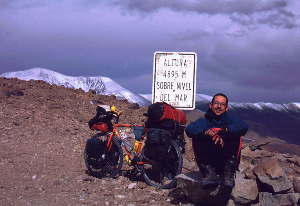
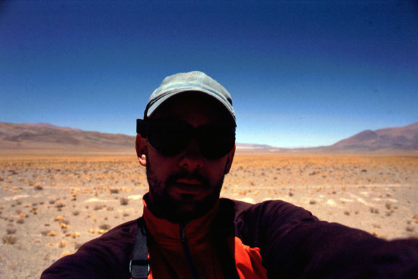
Once arrived at the top of the pass, I made the obligatory photos and enjoyed the magnificent view from almost 5000 m over the altiplano and the high Andean range. Well, actually these are those moments of silent loneliness, pride and satisfaction which make you to do all this.
The next 27 km go all the way downhill to the road crossing to San Antonio. In 33 km you descend 1060 m. Just before San Antonio, I camped somewhere in the plains.
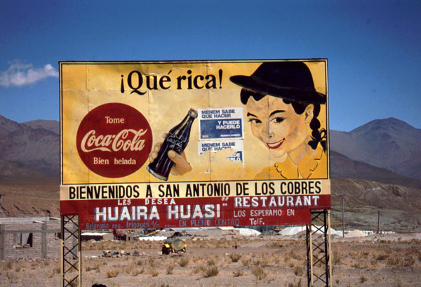
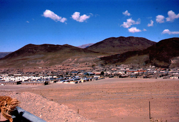
San Antonio de los Cobres was just the right place for chilling the next day and preparing for the next stage to San Pedro de Atacama, 360 km through even more desert places. I bought some more food, made major repairs on my bike at don Ladislao's bike shop at the eastern corner of the village and took a hot shower at my hostal. There are several hostals in San Antonio, for 10 pesos you should get one with hot water. You can find food in some of the restaurants on the main road. There is also Internet in the village at a locutorio with 2,5 pesos for 15 minutes or you might try at the municipalidad.
 |
 |
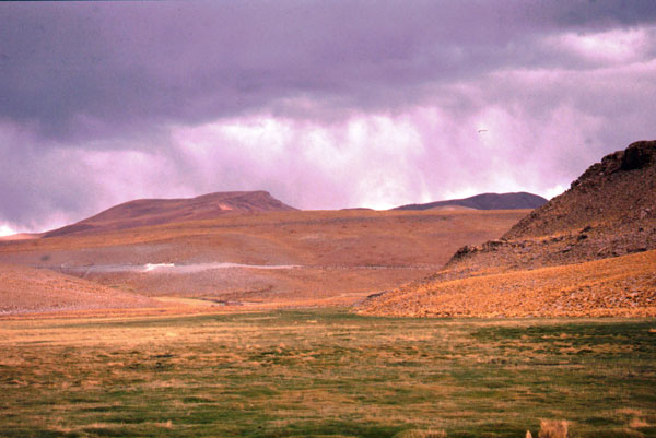
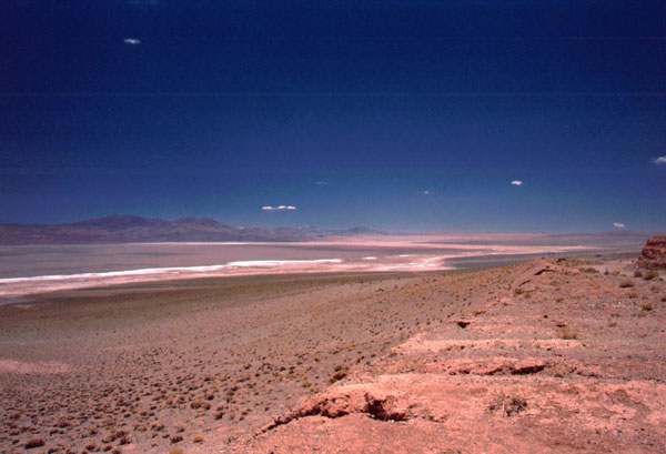
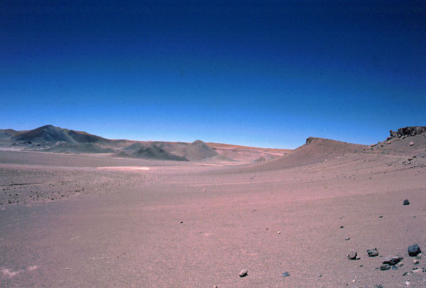
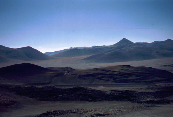
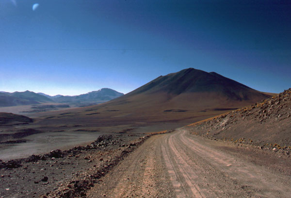
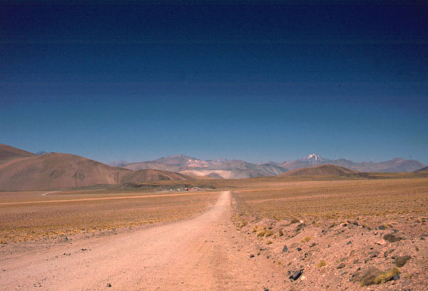
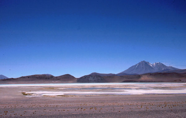
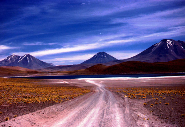
This spectacular road over Paso Sico to Chile drives you through magnificent landscapes, along salt lakes, lagoons, set lava streams in a bizarre and unrealistic scenery. On most of the maps, Paso Sico is shown as the point of border crossing between Argentina and Chile. In Spanish, "paso" means a point of crossing, not as we are used to as the highest point of a climbing. So in reality, there are four passes to cross until you get to San Pedro. The first one is Abra Chorillos at 4560 m, 28 km behind San Antonio. The following 31 km to Olacapato (4060 m) are going slightly downhill, but the road condition starts to worsen, some parts are very sandy and you are forced to push the bike. Olacapato is one of those andean villages looking abandoned. Many of the houses are left to the mercy of wind, plastic bags are flying through the air and hang on dry bushes. Children make an unhealthy impression. There is a little shop here and a prospecting company's camp, where you can pitch your tent. Olacapato is the last inhabited village before Socaire and last water filling point before the argentinean customs 64 km away.
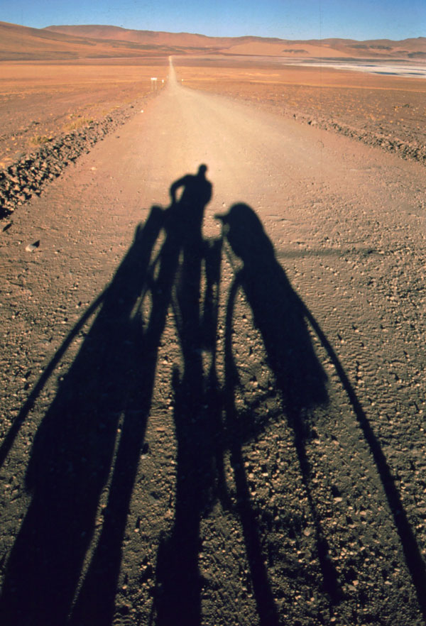
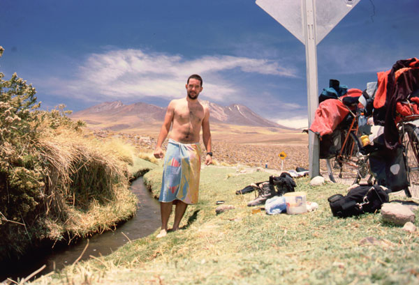
The road descends slightly for the next 8 km to Cauchari, an uninhabited village before a 12 km long, easy climbing straight road leads you to the margin of the Salar de Rincon. On a bumpy road 44 km further comes the argentinean border control. Here, some bikers told me that you could get a place for resting a night. Usually, the west wind starts blowing really hard at about 12-13 o'clock. As I couldn't reach the border post that same day, I had to camp 18 km before it, at a place signed out "Rio Catua" where a concrete pipe crosses under the road. The road is higher here and I could get some protection from the wind. Even though, it took me 40 minutes to build my tent up. But once inside, it's a really wonderful moment not the have the wind blowing into your face and you can enjoy the silence inside. As soon as it gets dark outside, the wind stops blowing at all and you can have a great view over the starry sky.
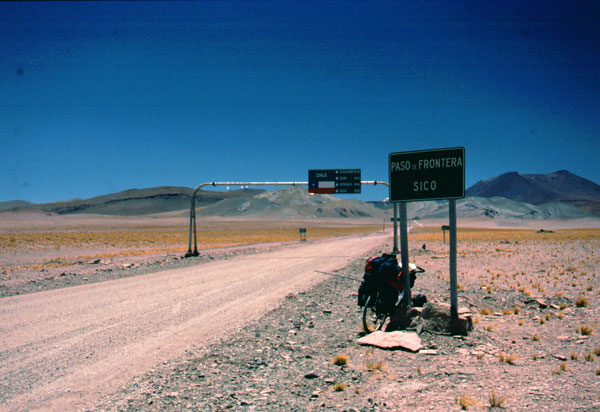
At the border post (Gendarmeria Argentina - 3880 m) where you get your formalities done for exiting Argentina, a new climbing begins. After 12 km, a big sign over the road announces you that you are entering Chile. Border formalities are made in San Pedro de Atacama. This is the point where the borderline crosses the road, which is not the natural watershed (valleys often end in salt lakes and don't have an outflow to the ocean). So this is actually the Paso Sico, at 4160 m. But there are still 12 km to climb until you reach an altitude of 4492 m, a place I call Abra Sico. The next 7 km go downhill, just before climbing another 7 km to Abra El Laco at 4580 m. In the middle of this climbing is the chilean agricultural service post (SAG - Servicio Agricola Chileno) that checks your luggage for any vegetal or animal products. You should know that you are not allowed to enter Chile with any of those products, if you still have some carrying with you, it will be confiscated and incinerated. You might have the possibility to eat them on the spot. You will get as well your bike disinfected. These measures are taken in order to protect Chile from animal diseases like foot-and-mouth disease. The SAG official was so kind and invited me inside to spend the night in the heated house where we had a great dinner and a long chat.
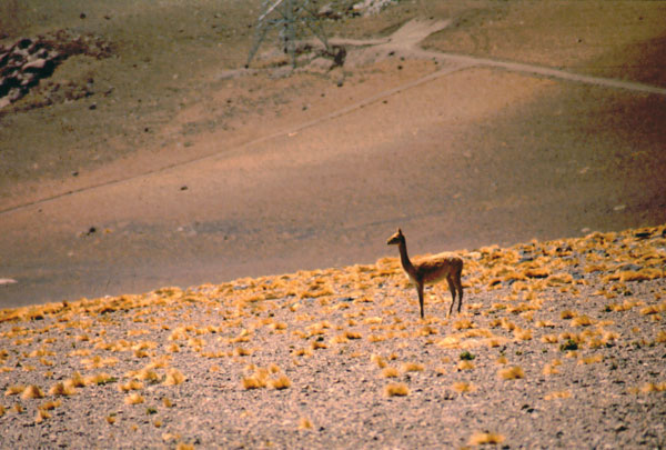
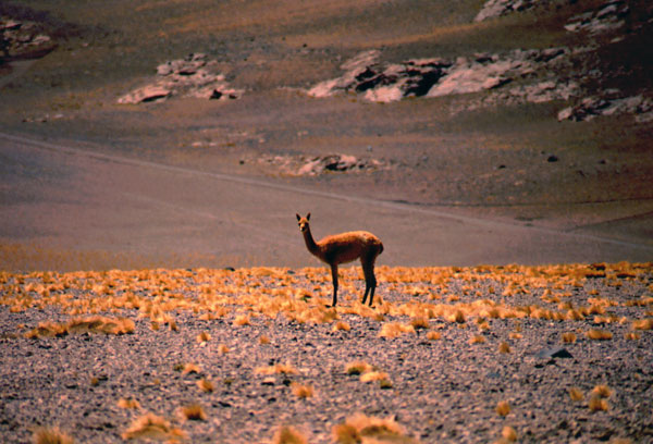
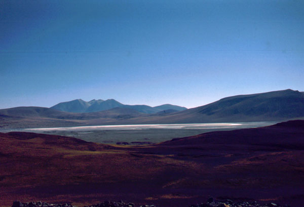
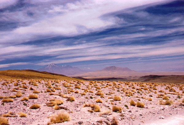
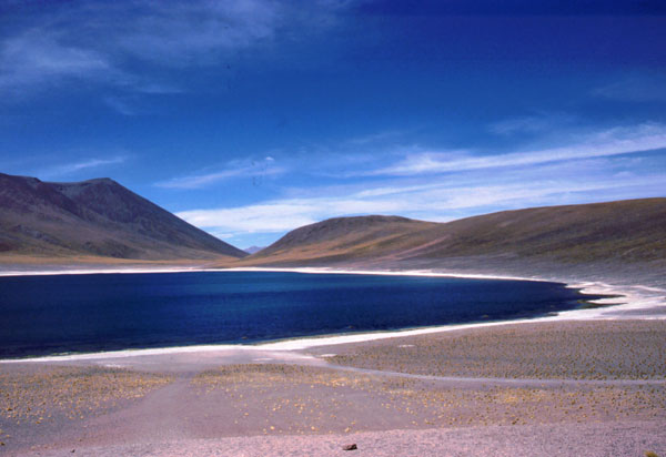
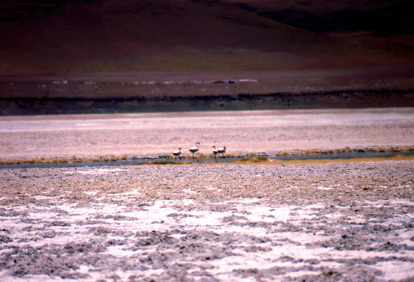
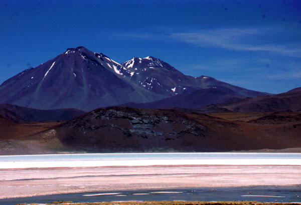
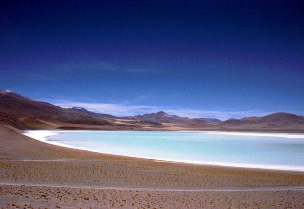
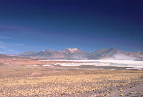
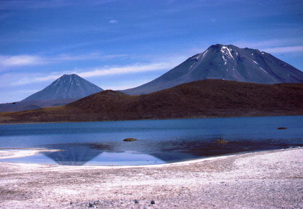
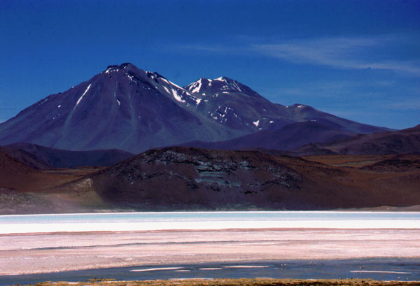
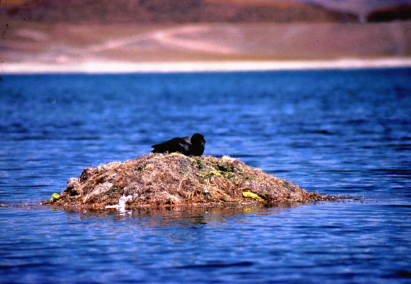
The campamento minero El Laco is 3,5 km away from the pass and is also a possibility to spend the night. The road is still going downhill until the Laguna Tuyaito at 4084 m, 22 km from the miners camp. A short climbing leads you to the Salar de Aguas Calientes, where you cycle for 12 km on its margin. At 3990 m, at the end of the salar, the last big uphill begins. For the next 18 km, the road climbs up to 4200 m. At a distance of 14 km from the salar, a little dusty road turns right leading to Laguna Minique (5 downhill, 8 uphill and another 2 down). Vicunas are grassing on the slopes of the volcano and black goose swim on the lake, building their nests out of algae. Contrasting colours induce a surreal feeling to the viewer, as one can see 5 snow-capped volcanoes and a dark blue lagoon, with unique flora and fauna around. I suggest every biker to make a detour over this place, as it is a great scenery for a camp site (even though it is forbidden, I know that this type of travellers are well educated and are environmental sensitive).
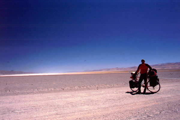
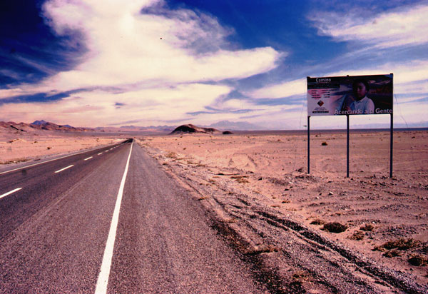
The way from the Laguna Miscanti leads to the last short uphill at the control house of the Parque Nacional Los Flamencos from where you get again to the main road (6 km). Another 6 km and you can lift your breaks and enjoy 33 km of cool downhill (from 3920 m to 2650 m). I reached Socaire in a couple of minutes, not before taking a refreshing bath in one of the irrigation chanells passing by the road. From here on, the road has a new pavement and suites excellent for speed downhill. For those bikers cycling to Argentina, Socaire is the last point before the El Laco miners camp to get drinking water (I wouldn't drink the salty lake water). Well, the last 75 km to San Pedro de Atacama are rather flat, excepting some very valley endings you have to cross. Entering San Pedro, you first have to do chilean border formalities (office which is 170 km away from the de facto border at Paso Sico) before entering the village. This is essential too for those travelling to Bolivia (Hito Cajon) or Argentina (Paso Jama, Paso Sico), as this is the place where you get your exit stamp from Chile. San Pedro de Atacama is an excelent place for chilling out, the village is full with all type of hippie places, restaurants, bars, internet-cafes, bike rental shops and tour operators. They offer one-day tours to the Valle de la Luna or the Tatio Geysers but also 4 to 5 day tours to Bolivia, the Salar de Uyuni and the high andean lagoons. A few km outside of San Pedro, driving towards Paso Jama, there is a swimming pool where you can cool down from the Atacama desert heat.
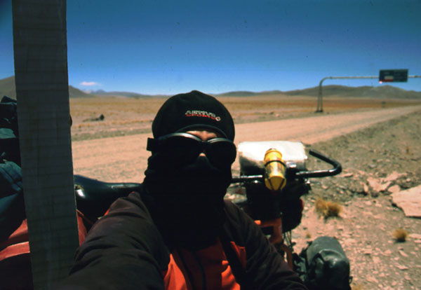
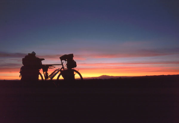
Cycling this route was very exciting, but at the same time very tough. I had to fight the hurricane like winds blowing from the Pacific, especially after 12 o'clock. Comparing to this, pushing the bike on the sandy and bumpy road seems to be an easy job. At least I got rewarded every evening with a hilarious star covered sky and having a delicious dinner in my tent made every efforts worth it.